 vesseltracker.com
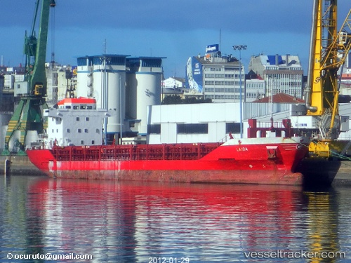
Vessel NS EVE IMO: 9214733, MMSI: 577521000 General Cargo Ship
UTC, 39.58650, 20.01501, course: 325, speed: 11.6
UTC, 39.82592, 19.80920, course: 162, speed: 0.8
2026-02-15 01:52:28 UTC, 39.82575, 19.80990, course: 210, speed: 0.8
Live AIS position:
UTC. Near Kassiopi Corfu),
updated 2026-02-15 01:52:28 UTC.
Find the position of the vessel NS EVE on the map. The latter are known coordinates and path.
marine traffic ship tracker show on live map
The current position of vessel NS EVE is 39.82575 lat / 19.80990 lng. Updated: 2026-02-15 01:52:28 UTCCurrently sailing under the flag of Vanuatu
NS EVE built in 2003 year
Deadweight:
5604 tDetails:
Last coordinates of the vessel:
UTC, 39.58650, 20.01501, course: 325, speed: 11.6UTC, 39.58650, 20.01501, course: 325, speed: 11.6
UTC, 39.82592, 19.80920, course: 162, speed: 0.8
2026-02-15 01:52:28 UTC, 39.82575, 19.80990, course: 210, speed: 0.8